
Designed for countries where good cadastral (land tenure) information doesn’t exist, maybe as a result of land redistribution policies. Without good information on who owns the land, it’s very risky for investors and others to engage due to the likelihood of legal challenges, etc.
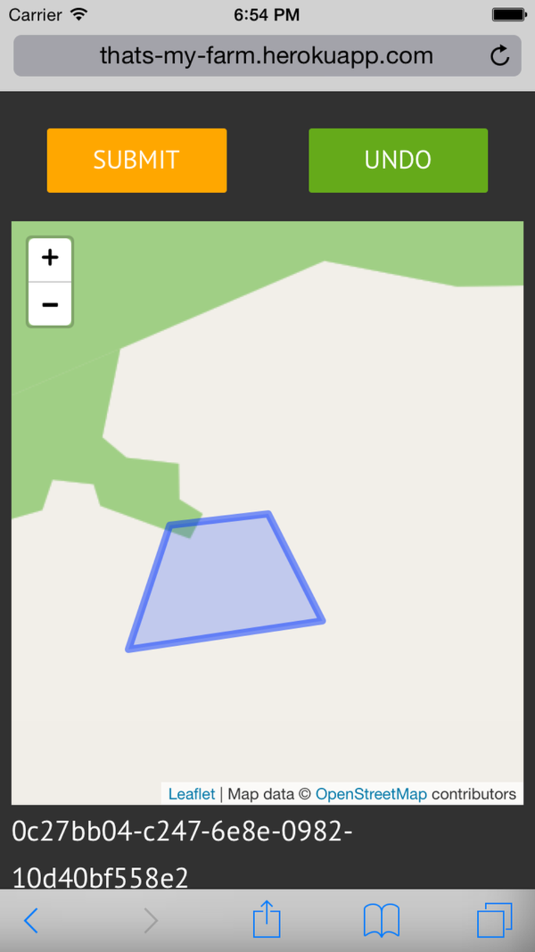
MaBoundary is a first rough prototype of a solution to this problem. It uses smartphone GPS to track where the user walks, so they can trace the outline of their plot and begin to make a formal claim. It’s designed to run in the web browser of the simplest smartphones.
There’s also a rough admin section, where you can review the collected boundaries, view them on a map, and also see the areas of conflicting claims.
To try the application out without needing to walk around, use this version. It just adds a special usemap=true code in the address - this makes it easier to test and demo. Instead of walking, you move the map with your finger and pressing ‘mark’ will use the centre-point of the map as the marker.
Worked with @th3james and @deciob and others at Ecohack 2014